


Key Takeaways
- The Nepal-India Sugauli Treaty of 1816 states that territories east of the Mahakali river belong to Nepal.
- The Kalapani region is situated at the tri-junction of India, Nepal, and China.
- The Pushpa Kamal Dahal Prachanda government in Nepal emphasizes Nepal’s claim on territories east of the Mahakali river.
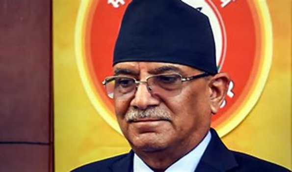
Kathmandu/New Delhi: Nepal Prime Minister Pushpa Kamal Dahal ‘Prachanda’ has stressed that his government is determined that all territories east of Kali (Mahakali) river including Limpiyadhura, Kalapani and Lipu Lekh belong to Nepal.
The Nepalese Prime Minister emphasized that territories east of the Mahakali river belong to Nepal, as per the Nepal-India Sugauli Treaty of 1816. A political map incorporating these territories was published, the Himalayan Times reported.
He said that during the meeting with his Indian counterpart in course of the India visit, an understanding was reached to revise and update the existing treaties and agreements including the 1950 India-Nepal Treaty of Peace and Friendship as well as to resolve border-related issues through diplomatic channel.
He said a letter has been sent to the Indian side through diplomatic channels for the seventh meeting of the Border Working Group related to the Nepal-India Border as per the commitment made in the seventh meeting of Nepal-India Joint Commission to complete the works in the remaining section of Nepal-India border, explained the PM.
The seventh meeting of the commission was held on January 2.

The Kalapani dispute is a border dispute between India and Nepal over a 373 square kilometer area in the Pithoragarh (Uttarakhand). The dispute stems from different interpretations of the origin of the Kali River, forming a border between the two countries.
The Kalapani region is situated at the tri-junction of India, Nepal, and China.
In May this year the Prachanda government in Nepal decided to depict the contested India-Nepal-China tri-junction on its currency notes.
In 2020, Nepal’s government led by K P Sharma Oli unveiled a new political map with the inclusion of Lipulek, Kalapani and Limpiyadhura areas within its territory. India had said that such “artificial enlargement” of territorial claims will not be acceptable to it.
India maintains that Lipulekh, Kalapani and Limpiyadhura belong to it.